

Lanchkhuti is located in the west part of Geogria, in the Kolkheti lowland. To the west, the municipality is bordered by the Black Sea coastline, to the east - by Samtredia and Chokhatauri, to the North - by Khobi, Senaki and Abasha, and to the South - by Ozurgeti Municipalities.
There are 16 territorial units in the municipality. The low-lying villages are bordering the Black Sea and kolkheti National Park. Mountainous villages are located at an altitude of 400-500 meters above sea level.
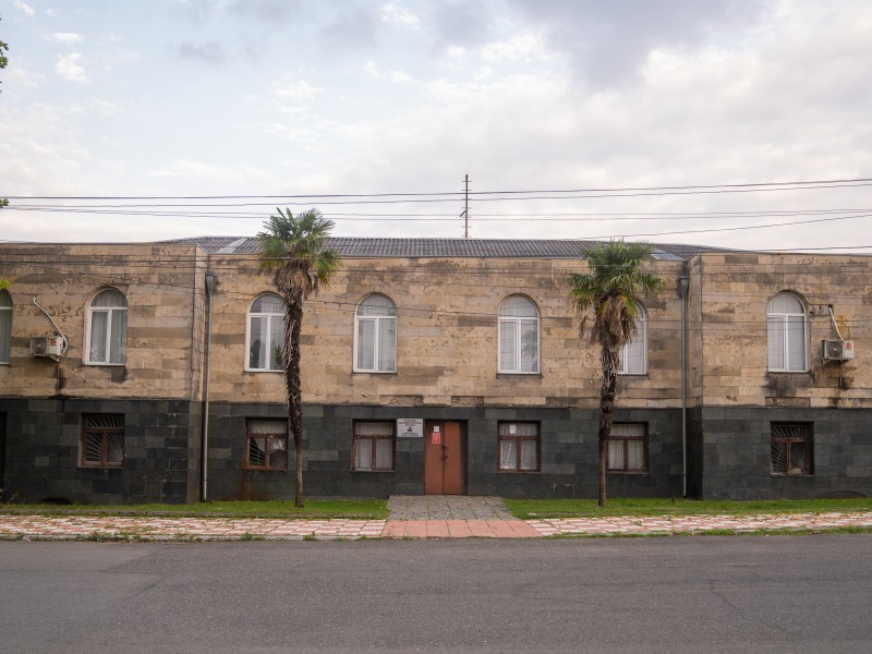
Lanchkhuti - Lanchkhuti Municipality Administrative center-was declared as a town in 1961-with population of 8000 people (in 2006). It is mentioned in historical sources in the 7th century (according to the information of our disposal). It is located in the Guria lowlands, on Samtredia-Batumi highway.
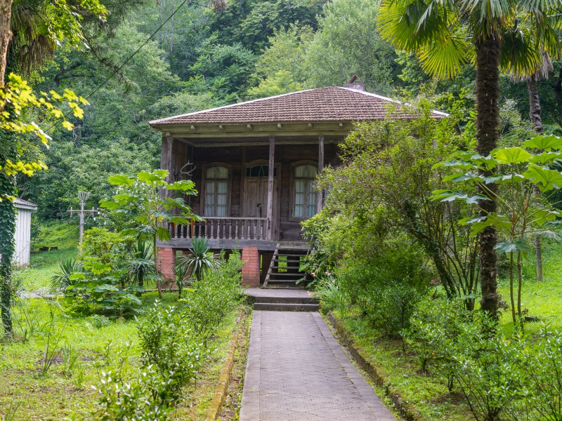
Most part of the municipality is a subtropical zone. Lanchkhuti has a humid subtropical sea climate, where winter is warm and summer is hot.
Lanchkhuti Municipality is distinguished by its agricultural and agrarian potential. Cereals, tea, citrus, kiwi, feijoa, nuts, laurel, bamboo, vegetables and horticultural crops are produced in the municipality as well as the private livestock is developed here.
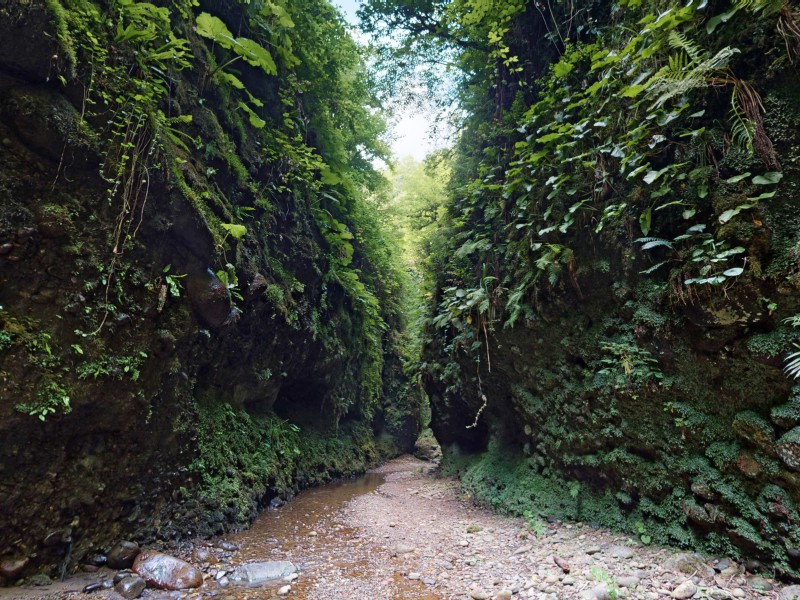
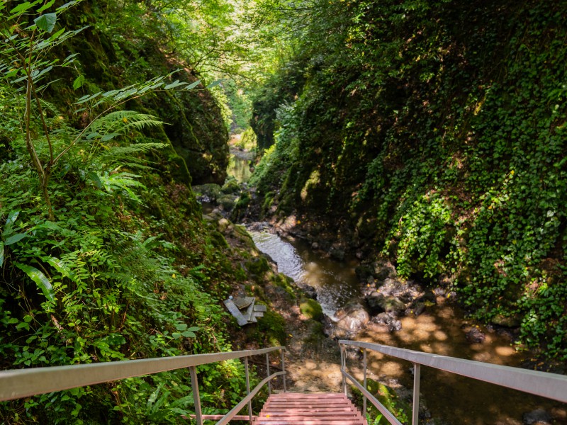
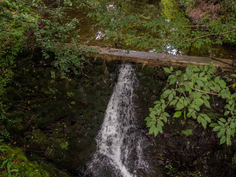
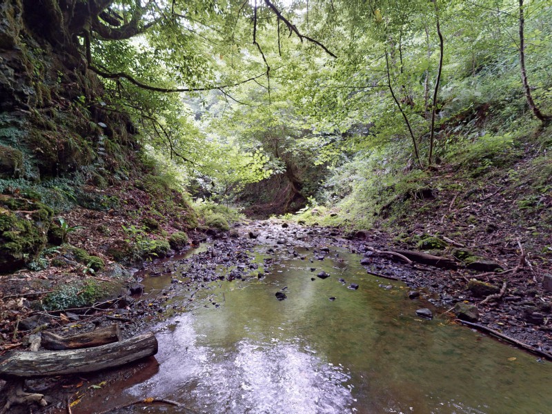
There are many artificial reservoirs and lakes in the municipality like Imnati and Japana as well as rivers: Supsa, Pichori, Leistskali and Shuti.
Supsa Terminal, a strategic unit for Georgia and the Transcaucasia in western zone, is located in Lanchkhuti Municipality.